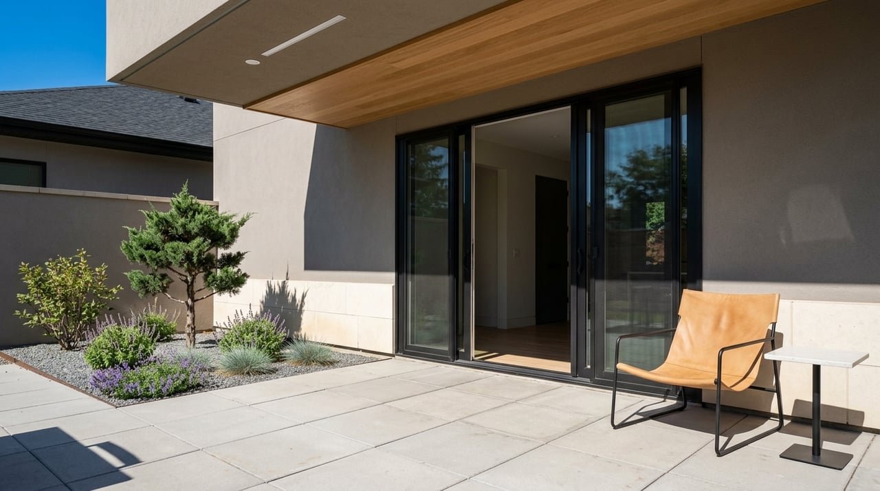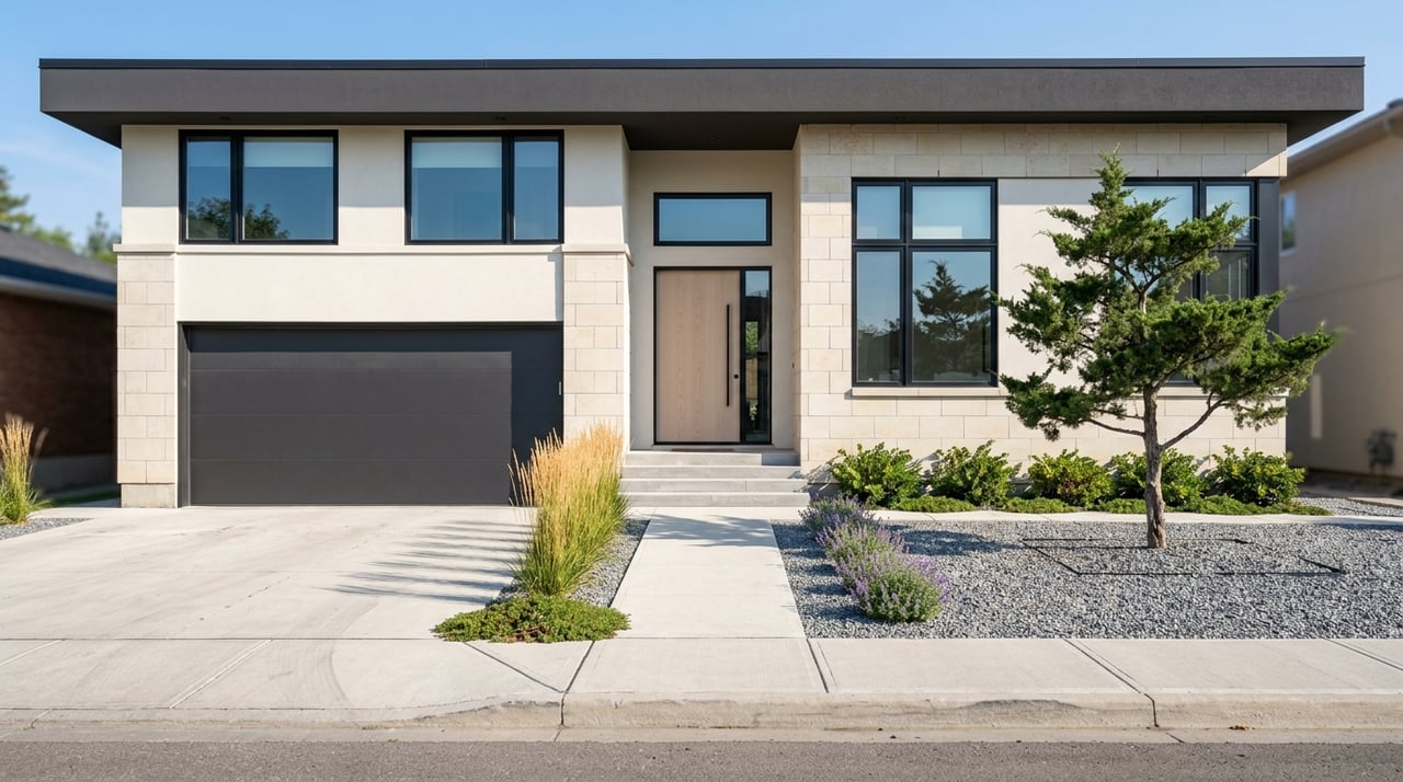
If you’re moving to Centennial, one of the first questions on your mind is probably simple: How easy is it to get around? Whether you commute to the Denver Tech Center, head downtown a few times a week, or just want options beyond a long freeway drive, Centennial gives you several ways to move through the South Metro area. From major highways and light rail to park-and-rides, FlexRide service, and a growing trail network, this guide will help you understand what daily travel can look like. Let’s dive in.
Centennial commuting at a glance
Centennial’s mobility system is built around a mix of roads, transit, and trails. According to the city, residents use major roadways, interstate highways, E-470, RTD rail and bus service, and trail connections to get around town and across the metro area.
That mix matters if you’re comparing neighborhoods or trying to picture your day-to-day routine after a move. In practical terms, some parts of Centennial offer stronger rail access, while others rely more on road connections and nearby park-and-rides.
Major roads in Centennial
If you drive regularly, Centennial is set up to connect you with the broader metro area. The city notes that residents can reach other parts of the region using major roadways, interstate highways, and the E-470 toll road.
One of the most important local corridors is I-25, especially near Dry Creek and Arapahoe Road. The city’s Midtown Centennial area is centered around Dry Creek Light Rail Station, I-25, Centennial Airport, and a growing mixed-use district, which shows how central that corridor is for local movement.
E-470 and C-470 options
E-470 is a 47-mile, all-electronic toll highway along the eastern edge of metro Denver. It connects to I-25 and C-470 in the south, which can make it a useful route if your trips take you around the southeast side of the region.
CDOT also lists the C-470 Express Lanes between I-25 and Wadsworth Boulevard as open 24/7 and tolled. There is no HOV 3+ option on that segment, so it helps to factor toll costs into your planning if you expect to use it often.
Light rail access in and around Centennial
For many South Metro buyers, rail access is a major part of the home search. RTD’s E Line runs from Union Station to RidgeGate Parkway Station, and the R Line runs from Lincoln Station to Peoria Station.
RTD also says the Southeast Corridor includes 15 light rail stations and 12 park-n-rides. For Centennial residents, the most relevant nearby stops are Dry Creek, County Line, Arapahoe at Village Center, Orchard, and Lincoln.
Key stations near Centennial
Here are some of the most useful access points if you want rail as part of your routine:
- Dry Creek Station: 9450 E Dry Creek Rd, Centennial; 235 parking spaces; paid parking; E and R lines; bike racks; FlexRide routes DRFX and NIFX
- County Line Station: 8340 S Valley Hwy, Meridian; 388 parking spaces; paid parking; E and R lines; bike racks and lockers; FlexRide route SIFX
- Arapahoe at Village Center Station: 8800 E Caley Ave, Greenwood Village; 817 parking spaces; paid parking; E and R lines; bus routes 66, 153, 169, and AT; bike racks and lockers; APFX FlexRide
- Lincoln Station: 10203 Station Way, Lone Tree; 1,734 parking spaces; paid parking; E and R lines; bike racks and lockers; bus route 483; LNFX and MDFX FlexRide
- Smoky Hill / Picadilly: 20855 Smoky Hill Rd, Centennial; 48 parking spaces; free parking; bus routes 135 and 139
If you want the strongest rail access, the Dry Creek, County Line, and Arapahoe corridor tend to stand out. East Centennial often leans more heavily on road travel, with Smoky Hill / Picadilly offering a smaller park-and-ride option.
Bus service and airport connections
Rail is only part of the picture. RTD bus service runs 365 days a year across more than 10,000 stops in eight counties, which adds flexibility for trips that do not line up neatly with a rail station.
On the southeast side, Centennial points to several useful routes. Route 66 connects Arapahoe at Village Center Station and Littleton-Downtown, Route 153 connects Arapahoe at Village Center with Aurora Metro Center and Peoria, and Route AT links Arapahoe at Village Center and Nine Mile to Denver International Airport.
Why bus connections matter
These routes can make a difference if your destination is not right off the rail line. They also help if you want another option for airport trips or regional errands without relying on a full drive the entire way.
For some households, that flexibility can shape where you look for a home. A location near a station with both rail and bus connections may support more than one type of commute.
FlexRide for local connections
RTD describes FlexRide as a shared local service that connects park-n-rides, stations, workplaces, medical centers, business parks, and other nearby destinations. In the DTC area, that can be especially helpful for filling the gap between a rail stop and your final destination.
The DTC FlexRide service area includes Arapahoe, Belleview, Dry Creek, North Inverness, South Inverness, Meridian, Orchard, and Lone Tree. RTD lists weekday service from 5:30 a.m. to 7:00 p.m., with no weekend service.
Where FlexRide can help most
If your routine includes Denver Tech Center offices or nearby business areas, FlexRide can add another layer of convenience. Instead of doing one long drive, you may be able to combine rail with a shorter local connection depending on where you start and end.
That kind of multimodal setup will not fit every schedule, but it is a real advantage in parts of the South Metro. It can be especially useful if you want options during the workweek.
Trails and bike routes in Centennial
Centennial is not only about highways and transit stations. The city says it has more than 100 parks, 100 miles of trails, and more than 4,000 acres of open space.
Those trails support recreation, but they also play a role in everyday mobility. If you like biking, walking, or connecting to open space without loading up the car, the local trail network adds meaningful value.
Regional trail connections
The city connects Cherokee Trail Park to Piney Creek Trail, and Parker Jordan Centennial Open Space to Cherry Creek. That gives residents access to routes that extend beyond a single neighborhood or park.
Parker Jordan Centennial Open Space also helped complete one of the final major links in the 40-mile Cherry Creek Regional Trail. That regional trail runs from downtown Denver to Castlewood Canyon State Park, and Cherry Creek State Park adds another major outdoor destination with biking among its activities.
Trail projects to watch
Centennial is also investing in trail connectivity. Current city projects include the Centennial Link Trail, described as a continuous east-west bike and pedestrian trail system.
Another project is the Lone Tree Creek Trail underpass at E. Arapahoe Road. The city says it will allow trail users to pass beneath traffic instead of crossing at street level, which points to a safer and more connected experience for cyclists and pedestrians.
What this means for homebuyers
If commuting convenience is high on your list, Centennial offers more than a one-size-fits-all answer. Your best fit depends on whether you want quick freeway access, nearby rail, airport connections, or trail access for recreation and local trips.
In general, the strongest multimodal access clusters around Dry Creek, County Line, and the Arapahoe and I-25 corridor. East Centennial tends to rely more on road access, along with the Smoky Hill / Picadilly park-and-ride for some trips.
Questions to ask during your home search
As you compare homes in Centennial, it helps to think beyond square footage and finishes. Ask yourself:
- How often will you drive versus use rail or bus service?
- Do you want to be near I-25 or closer to E-470 access?
- Would a park-and-ride make your workweek easier?
- Do you want trail access for biking, walking, or weekend outings?
- Are airport connections an important part of your routine?
The answers can help narrow your search to the part of Centennial that best matches your lifestyle. A home that looks perfect on paper may feel very different once you map out the daily commute.
Why local guidance helps
For relocators especially, commuting patterns can be hard to judge from a map alone. Two homes may both say “Centennial,” but one may put you much closer to light rail, a major corridor, or a trail connection that changes your day-to-day experience.
That’s where local, neighborhood-level guidance matters. When you understand how roads, stations, park-and-rides, and trails actually connect across the South Metro, you can make a more confident move.
If you’re planning a move in Centennial or anywhere in South Denver, REBL Home Team can help you match your home search to the commute and lifestyle that fit you best.
FAQs
What are the main ways to commute in Centennial?
- Centennial residents commonly use major roads, interstate highways, E-470, RTD rail and bus service, and the city’s trail connections to get around locally and across the metro area.
Which light rail stations are most useful near Centennial?
- The most relevant nearby stations for many Centennial residents are Dry Creek, County Line, Arapahoe at Village Center, Orchard, and Lincoln.
Does Centennial have park-and-ride options for commuters?
- Yes. Nearby facilities include Dry Creek, County Line, Arapahoe at Village Center, Lincoln, and Smoky Hill / Picadilly, with parking availability and transit connections varying by location.
Is there an RTD route from Centennial-area stations to Denver International Airport?
- Yes. RTD Route AT connects Arapahoe at Village Center and Nine Mile to Denver International Airport.
How does FlexRide work in the Centennial and DTC area?
- RTD FlexRide is a shared local service that connects stations and park-n-rides with nearby destinations such as business parks, workplaces, and medical centers. In the DTC area, weekday service runs from 5:30 a.m. to 7:00 p.m. with no weekend service.
Are trails in Centennial useful for more than recreation?
- Yes. Centennial’s trail system supports recreation, but city trail projects and regional connections also make trails a practical option for walking and biking between local destinations.
Which parts of Centennial offer the strongest multimodal access?
- Based on the city and RTD connections described in the research, the strongest multimodal access is generally around Dry Creek, County Line, and the Arapahoe and I-25 corridor.